
Venue intelligence
Understand levels, access, routes, structures, boundaries and usable space across an estate.
For venues →High-accuracy drone LiDAR surveys, digital twins and site data for venues, events, architects, engineers and construction teams across the UK.
We turn complex sites into clear, measurable information that supports planning, design, operations and delivery.
Understand levels, access, routes, structures, boundaries and usable space across an estate.
For venues →Plan parking, crowd areas, emergency routes, temporary structures and production infrastructure.
For events →Topographic surveys, terrain models, contours, cross-sections, volumetrics and measured site data.
Survey services →Transfer approved digital plans back onto the ground using accurate GNSS positioning.
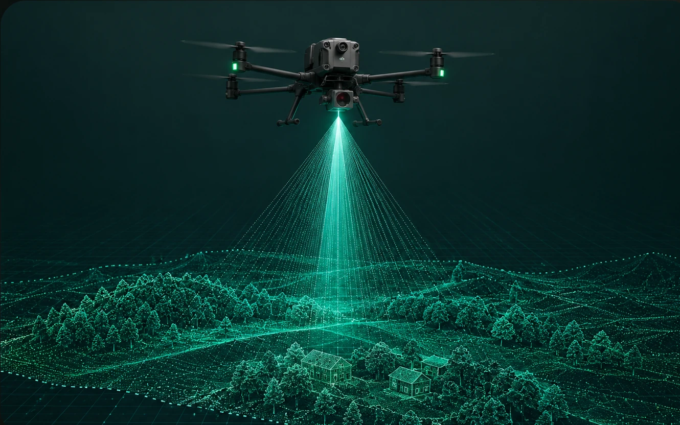
Layout marking →LiDAR captures millions of measurements to create a detailed three-dimensional record of your site. The resulting dataset can support everything from early feasibility and event planning to CAD design, BIM coordination and repeat monitoring.
We can tailor the output to your team, whether you need a simple annotated plan or survey-grade data for specialist software.
Tell us the location, approximate area and what you need to achieve. We will recommend the right survey and deliverables.