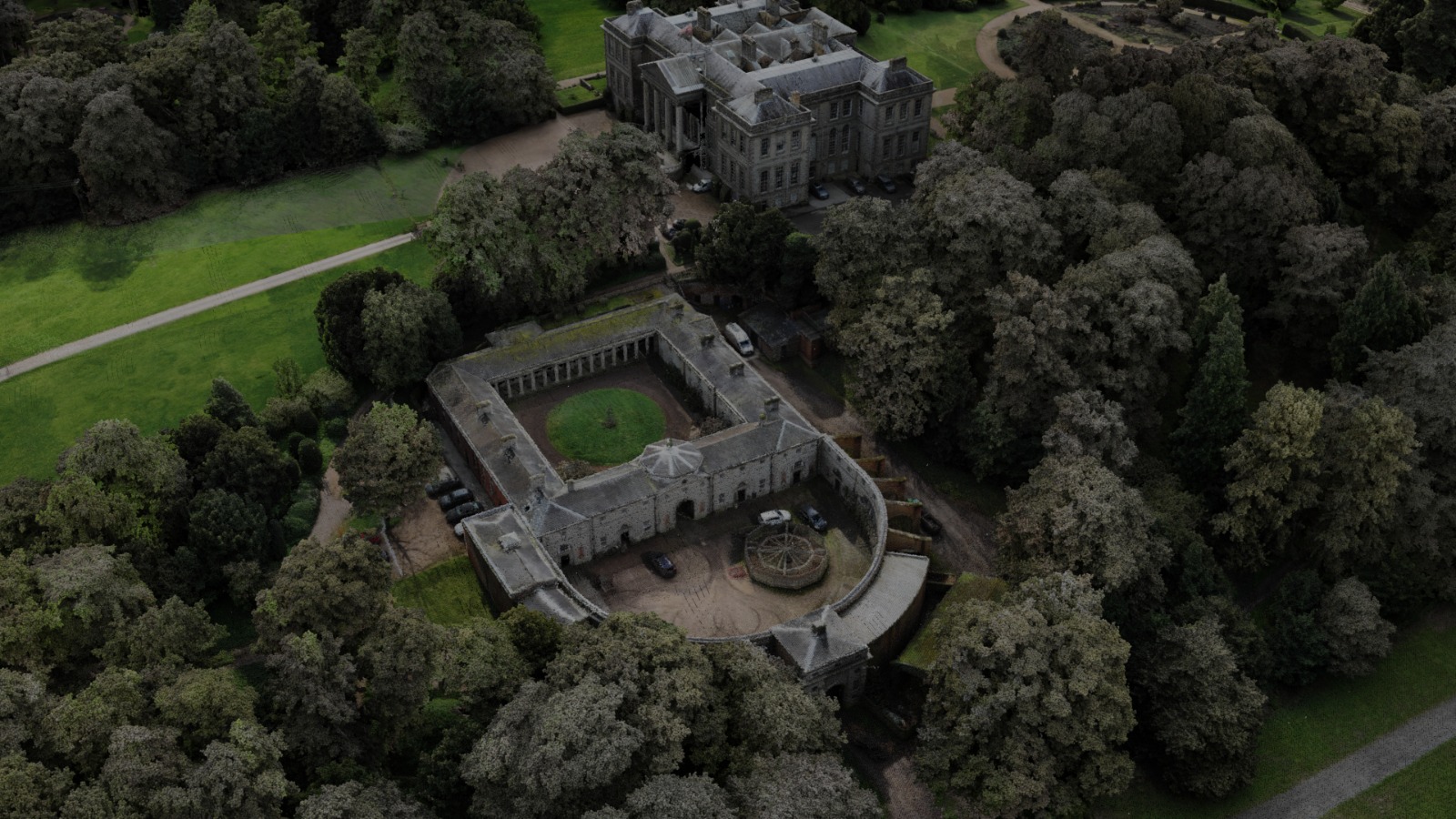
A living site plan
A valuable asset you can use for years
Your LiDAR survey is not just for one event or one development project.
It becomes a permanent digital resource that can be measured, shared and
reused by every future event organiser, production company, architect,
consultant or contractor working at your venue.
Large and historic sites often rely on plans assembled over many years,
aerial photographs or drawings that no longer reflect the site accurately.
A drone LiDAR survey creates one consistent three-dimensional dataset,
capturing the venue in centimetre detail.
- Estate masterplanning
- Access and egress planning
- Temporary structure positioning
- Parking and capacity planning
- Emergency and evacuation planning
- Utilities and infrastructure coordination
- Drainage, gradients and ground levels
- Tree heights and vegetation records
- Conservation and heritage records
- Future development projects