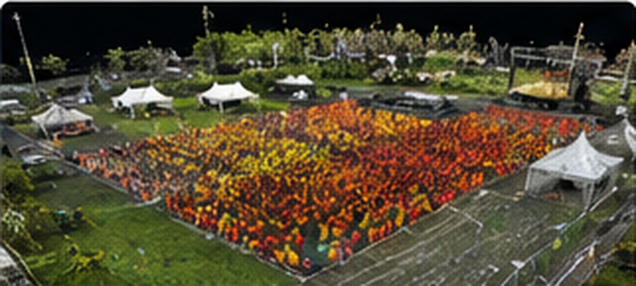
Audience areas
Assess usable space, gradients, sightlines, capacities and accessible routes.

Plan complex outdoor events using an accurate digital model of the venue before equipment, crews or audiences arrive.
Share one accurate model with organisers, suppliers, safety teams and venue management.
Accurate terrain, access and site measurements help production teams coordinate safely and efficiently.
Assess usable space, gradients, sightlines, capacities and accessible routes.
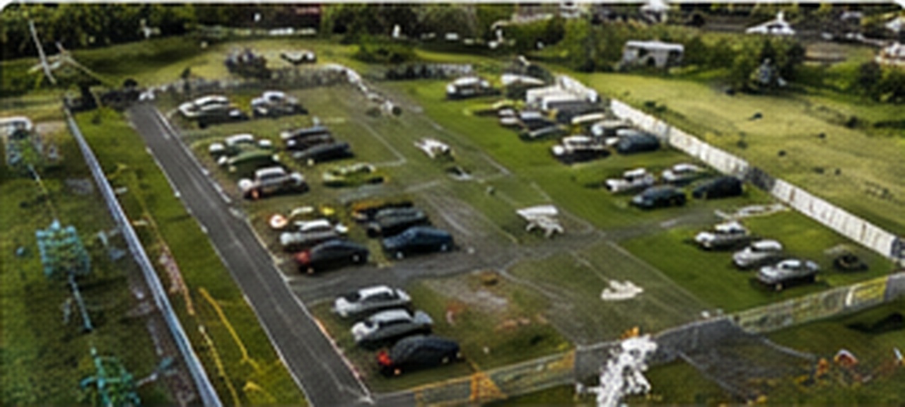
Design parking blocks, vehicle lanes, entrances, exits and temporary road systems.
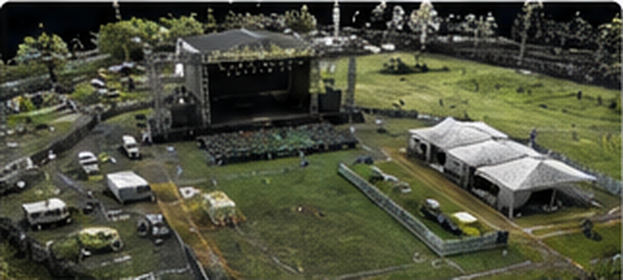
Position stages, marquees, compounds, fencing, generators, catering and welfare.
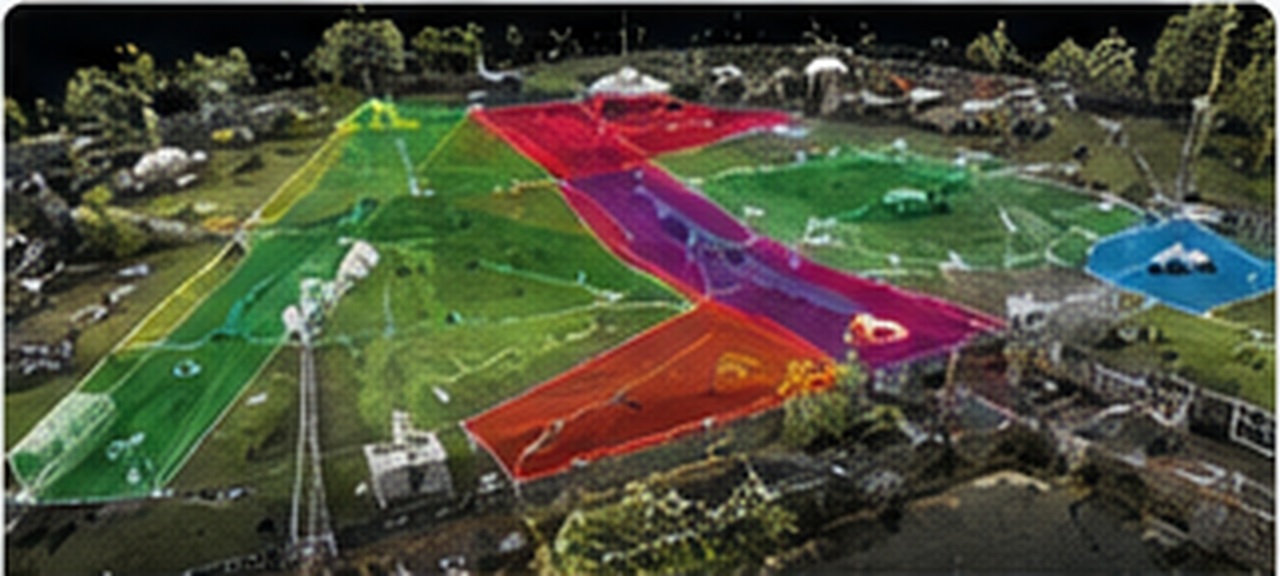
Map boundaries, positions, emergency routes, sterile zones. Detailed data highlights uneven ground.
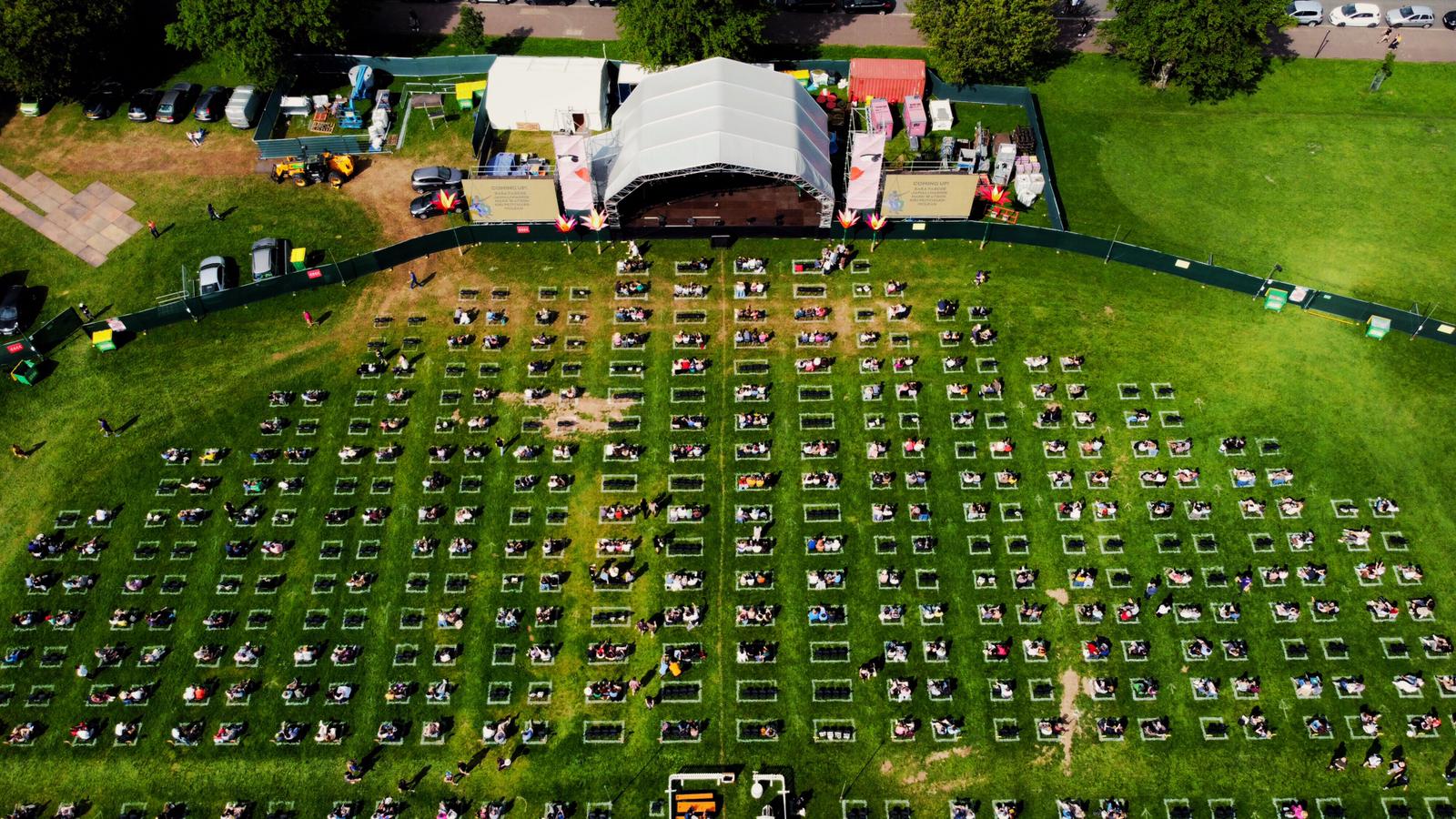
We can take the process beyond data capture. Once your layout is approved, our GNSS layout marking service can transfer key points and lines back onto the site.
Share one accurate model with organisers, suppliers, safety teams and venue management.