Accurate placement
Use project coordinates rather than measuring repeatedly from uncertain site features.

Accurate GNSS layout marking transfers your approved design directly onto the ground. Ideal for event infrastructure, construction projects, temporary roads, parking layouts and site compounds without relying on tapes, offsets or visual estimates.
We can work from your supplied CAD plan or combine layout marking with our own site survey. Key coordinates, corners, lines and zones are set out directly on the ground for the delivery team.
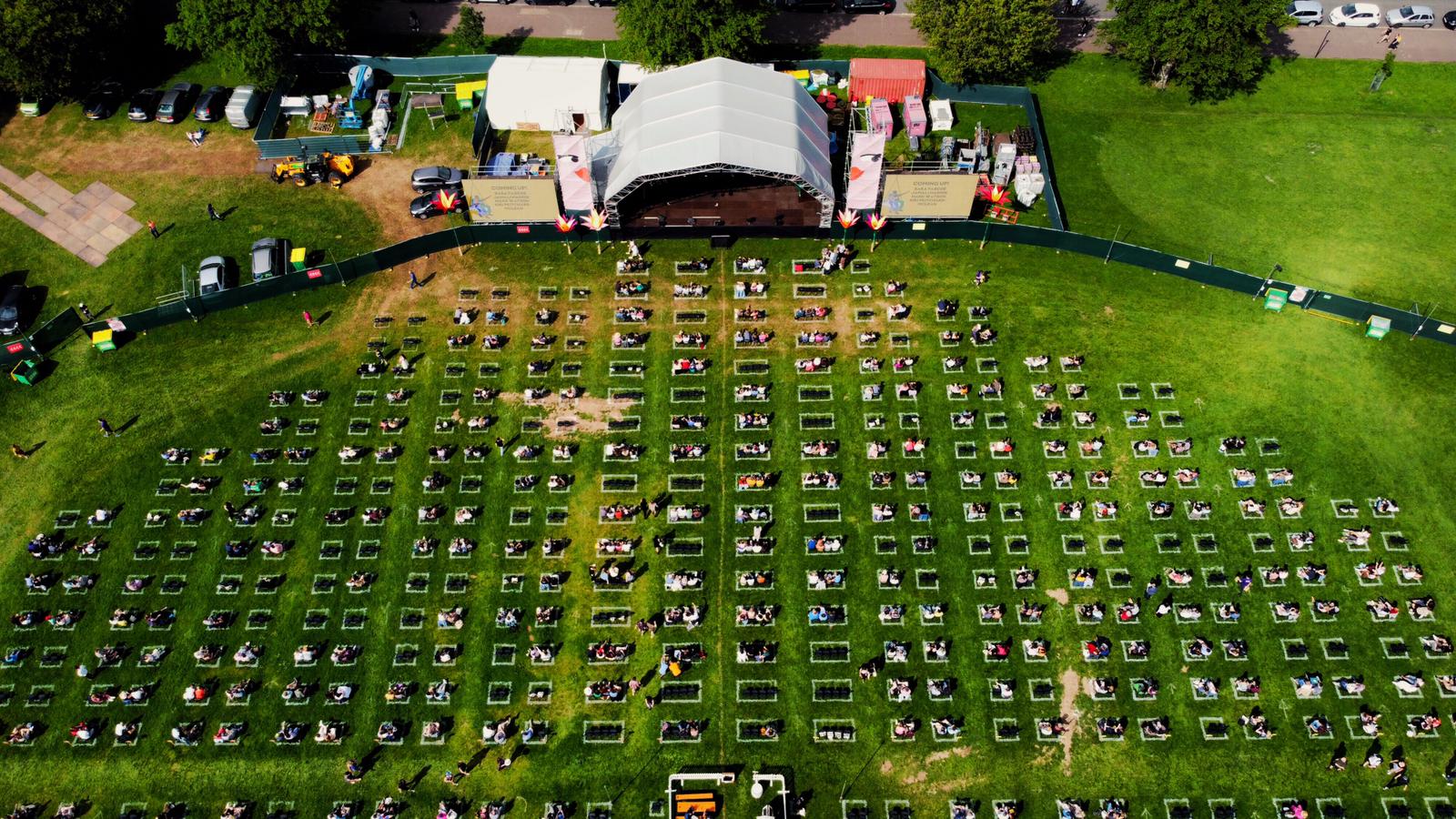
Use project coordinates rather than measuring repeatedly from uncertain site features.
Mark points, corners, lines and labelled positions for contractors and event crews.
Return to the same coordinates for recurring events, inspections or phased works.
Send your CAD or PDF plan and site details for review.