
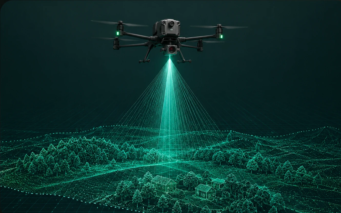
CM AccuracySurvey-grade accuracy you can rely on

A precise digital foundation for every decision
LiDAR captures millions of measurements to create a detailed three-dimensional record of your site. The resulting dataset supports early feasibility, event planning, CAD design, BIM coordination and repeat monitoring.
- Digital twin
- Topographic survey
- Point cloud
- Contours
- Orthomosaic
- Terrain models
- CAD drawings
- Volume analysis